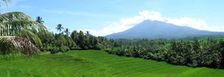
Mount Kerinci is one of mountains that standing on streams of Bukit Barisan hills range. This active volcano located in Taman Nasional Kerinci Seblat (Kerinci Seblat National Conservation Park). Base on the national administration, this mountain places on both Sumatera Barat (West Sumatra) and Jambi Province.
The Taman Nasional Kerinci Seblat (Kerinci Seblat National Conservation Park) founded as natural flora and fauna conservation, like Harimau Sumatra (Sumatra Tigers), Wau-Wau, Siamang, Ungko etc.
If you wants to reach the peak you can takes this major track: [Bangko – Sungai penuh - Kersik Tuo (tugu macan)] – R Sepuluh – Pintu Rimbo – Pesanggrahan I – Pesanggrahan II – Pesanggrahan III/ POS I (Base camp I) – POS II (Base camp II) – POS III (Base camp III) – The Peak of Mount Kerinci
From the peak, you can see exotic landscape, and the horizon of Hindia Ocean on the west direction.

| Country: | Indonesia | |
| Subregion Name: | Sumatra (Indonesia) | |
| Volcano Number: | 0601-17= | |
| Volcano Type: | Stratovolcano | |
| Volcano Status: | Historical | |
| Last Known Eruption: | 2008 | |
| Summit Elevation: | 3800 m | 12,467 feet |
| Latitude: | 1.697°S | 1°41'50"S |
| Longitude: | 101.264°E | 101°15'52"E |


1 comments:
Wow! That's real great to see your photo series wituout going to rhe real place! Interesting blog!
Post a Comment